

Strengthening high pressure will allow for the warmest temps of the year this weekend into early next week… and for some, pushing not only daily record highs, but all-time record highs!
Expect highs ranging from the upper 80s to upper 90s this weekend across western Montana with the SERIOUS heat expected in areas under Heat Advisories (orange) or Extreme Heat Warnings (deep pink). In these locations, highs will range from 95°-105° and 100°-115° respectively. Remarkable. And dangerous.
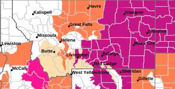
Unfortunately, winds will be on the increase this weekend, too, and combined with very low humidity values and these well above average temps, fire danger will be extremely elevated - particularly southwest & south-central Montana (light tan = Fire Weather Watch for Sunday).
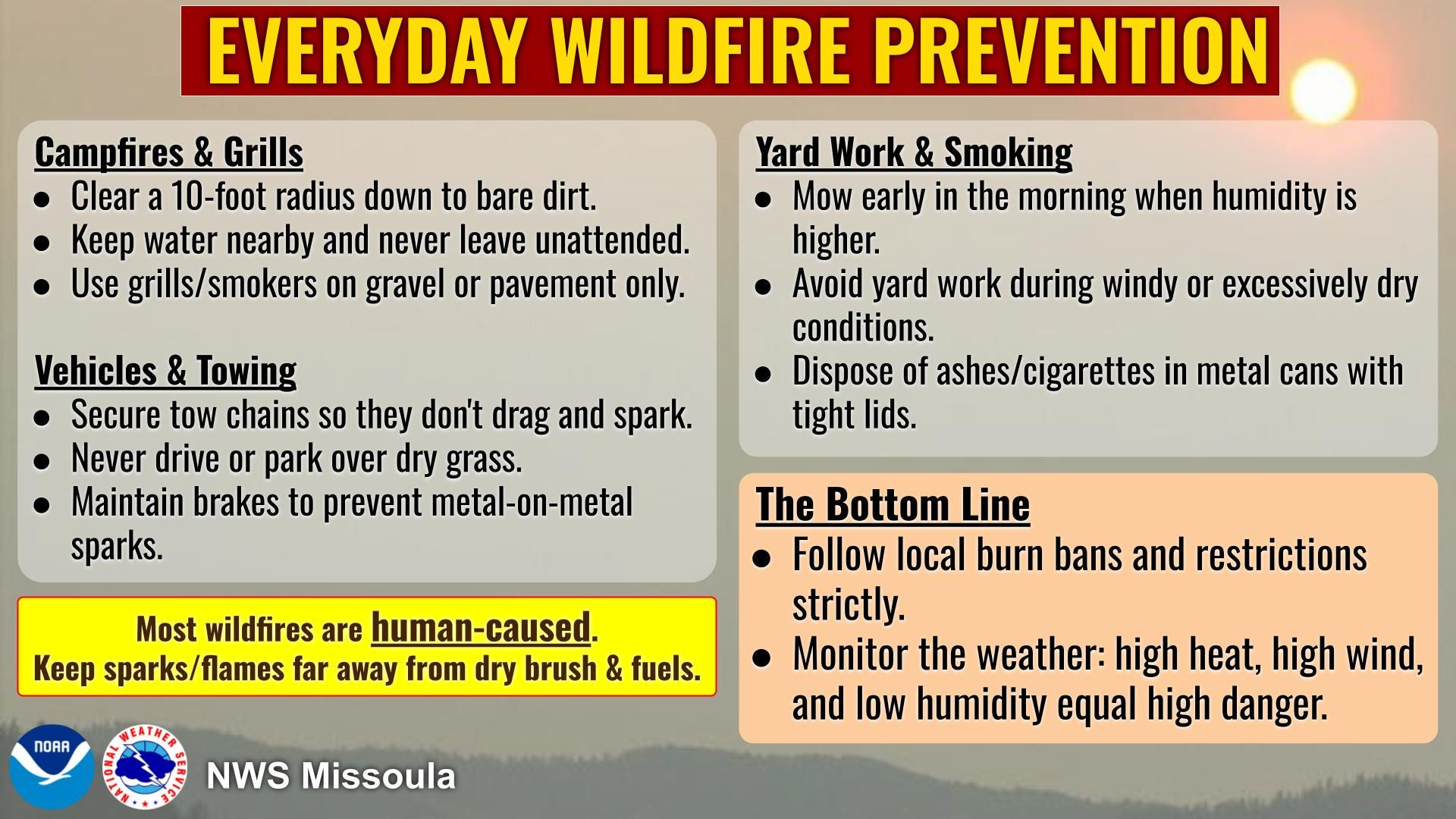
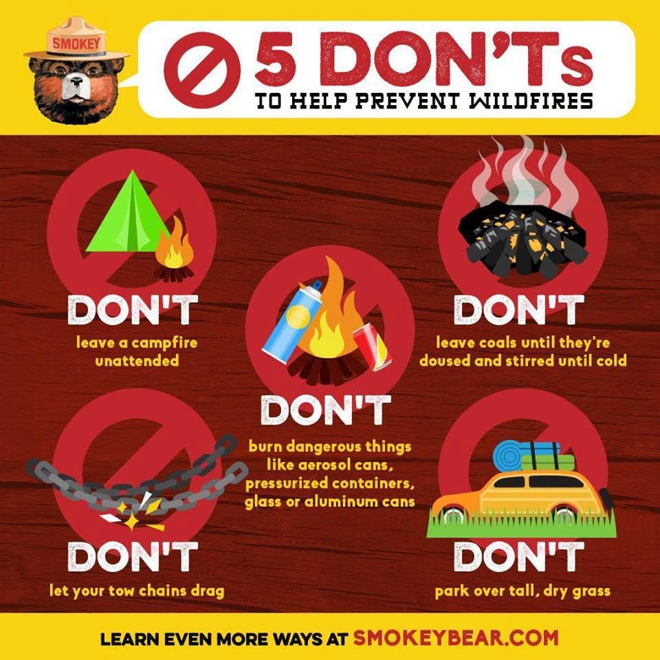
For those recreating outdoors this weekend, please prioritize safety: stay consistently hydrated, take frequent breaks in the shade, avoid strenuous activities during peak afternoon heating and practice extreme caution to prevent any sparks or fire starts in these hot, dry & windy conditions.
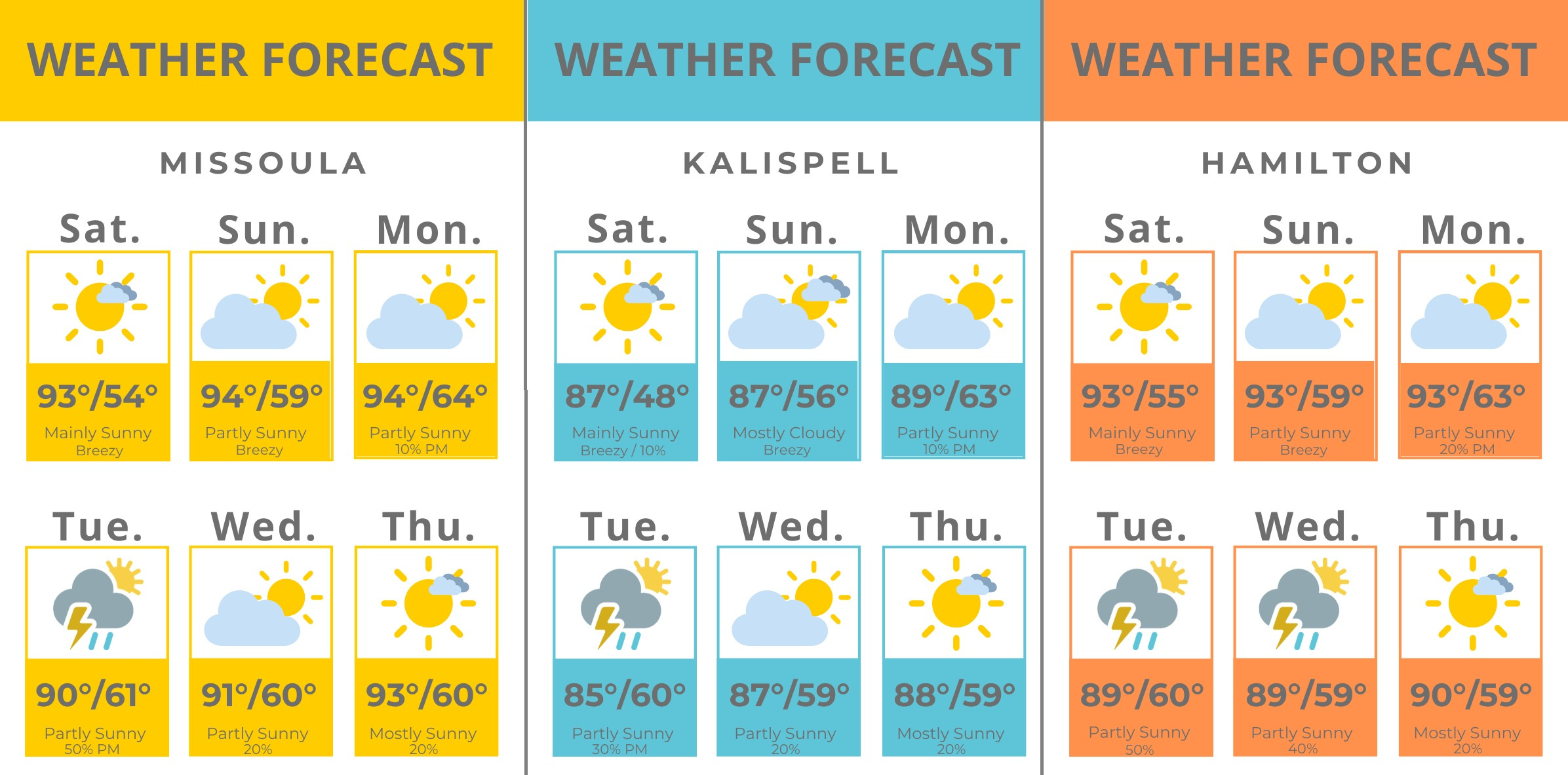
Temperatures looks to drop a few degrees (still above average) running into Tuesday as some monsoonal moisture works it’s way up from the Desert Southwest… this translates to a bit more cloud cover AND a good chance for showers/thunderstorms.
Initially, isolated thunderstorm activity starting Monday afternoon/evening will bring gusty, erratic winds due to the dryness of the atmosphere, but by Tuesday/Wednesday, enough moisture should allow for wet thunderstorms vs. dry.
Thanks, Erin!!
Is this what they call the dog days of summer? 🤔😂